
Community Stories
The Transportation Evolution of the San Fernando Valley, and the West Valley's Place in It
9/10/2026
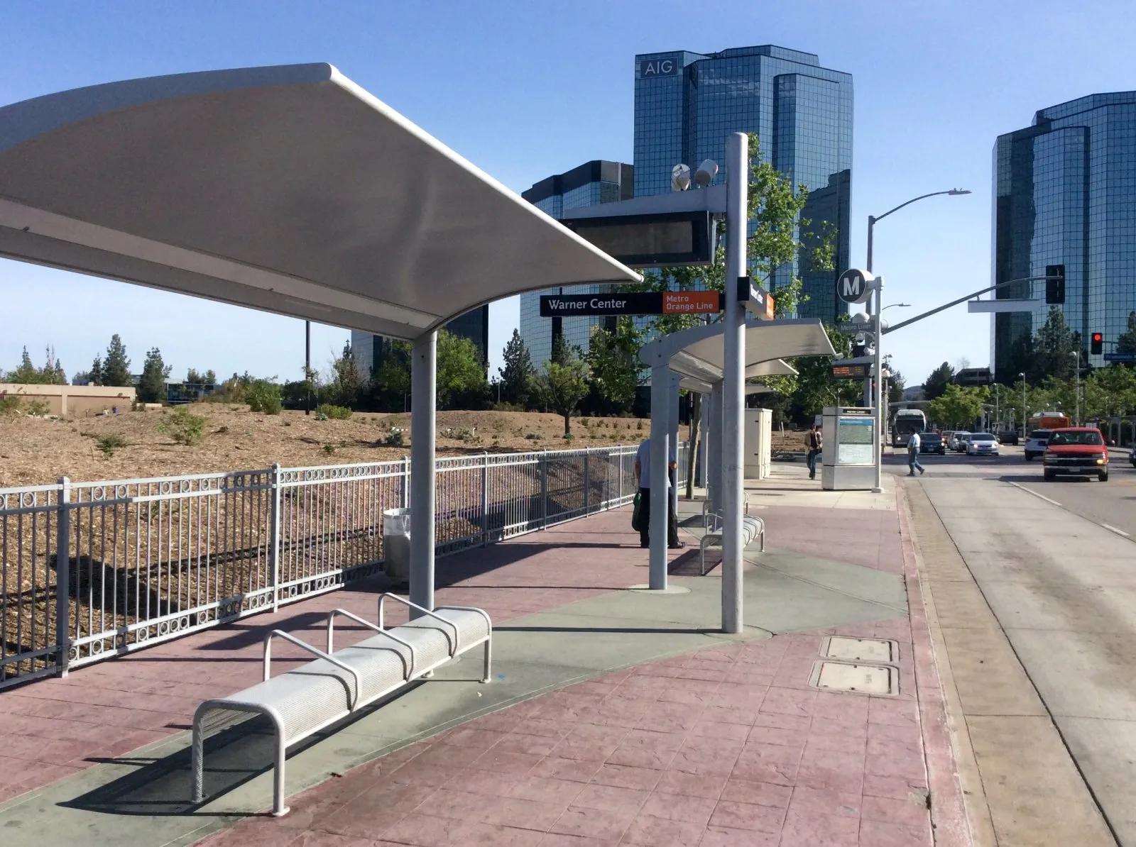
Photo: "Los Angeles Metro, Warner Center, Platform View" by HanSangYoon / Wikimedia Commons, CC BY-SA 4.0
Sherman Way was built for a train, not a car. That train's story — torn out, replaced by freeways, then quietly rebuilt along almost the same path more than 50 years later — is the story of how this region moved, and still moves, today.
Sherman Way, the street that runs through the heart of Canoga Park, is named after a man who never lived here: General Moses Sherman, a railway developer who never intended it to become a street for cars at all. He built it as the route for an electric train. That train's story, torn out, replaced by freeways, and then quietly rebuilt along almost the same path more than 50 years later, is the story of how this entire region moved, and still moves, today.
A Railroad Built the Road (1911-1912)
Before Sherman Way carried traffic, it carried the Pacific Electric "Red Car" Owensmouth Line, and the street itself was built for it. A development syndicate, the same land speculation group behind much of the Valley's early growth, laid a broad, landscaped route down the middle of what became Sherman Way specifically to run trolley tracks to their planned town of Owensmouth. Service to Owensmouth began in December 1912. It wasn't an afterthought added to an existing road; the road existed because of the railway.
The Peak of the Interurban Era
By 1926, the Owensmouth Line was carrying over a million riders a year, connecting what's now Canoga Park and West Hills directly to downtown Los Angeles without a car. This was the everyday transportation reality for the West Valley for decades: rail, not roads, moved people in and out of this part of the city.
Decline and Removal (1938-1952)
The rail era wound down over roughly fifteen years, and the reasons were genuinely mixed, not a single cause. Rising private car ownership was pulling riders away from interurban rail across all of Southern California. At the same time, a well-documented piece of corporate history played a role too: starting in the 1940s, National City Lines and Pacific City Lines, companies with financial ties to General Motors, acquired stakes in both of Los Angeles's streetcar systems, and GM itself was later convicted under federal antitrust law for monopolizing bus and supply sales to those companies. How much that specific conviction actually accelerated the Red Cars' decline, versus a broader shift toward buses and highways that was happening nationwide anyway, is something historians still debate; we're not taking a side on it here. What's not in dispute: rail service on the Owensmouth Line was truncated in 1938, converted to a bus route (still called the Van Nuys Line), and all remaining Pacific Electric service in the corridor ended December 29, 1952. The tracks came out of Sherman Way.
The Freeway Era
Cars needed a different kind of road, and the West Valley got one. The Ventura Freeway, carrying U.S. Route 101 through the southern San Fernando Valley, opened through this stretch of the Valley in stages between 1958 and 1960, finally connecting as a continuous freeway route in the summer of 1959. For the next several decades, the 101 corridor, not any single surface street, functioned as the Valley's real transportation spine, exactly the shift that let Warner Center's office towers and shopping centers become viable commercial destinations reachable from across the region by car.
The Rails Come Back, on Almost the Same Path
Here's the part of this story that makes it worth telling as its own chapter rather than a footnote: in October 2005, Los Angeles Metro opened the Orange Line, a dedicated bus rapid transit route running largely along the former Pacific Electric right-of-way, the same corridor the Red Cars used decades earlier. It originally terminated at Warner Center. In 2012, it extended further west and north to Chatsworth, connecting to the regional Metrolink system there. Renamed the G Line in 2020, it now carries more than 4.4 million riders a year, moving people between Chatsworth and North Hollywood along a corridor that, structurally, is doing the same job the Red Cars did a century ago: dedicated right-of-way transit, not mixed in with car traffic.
The G Line's own station list reads like a map of our current and future coverage area: Canoga station serves Canoga Park directly, De Soto station serves Winnetka, Pierce College station sits right at the community college whose founding anchors our own "This Month in West Valley History" pilot, Tampa station serves Tarzana, and Reseda station serves Reseda. As our coverage expands into those neighborhoods, this is the same transit line running through nearly all of them.
What This Story Actually Shows
Transportation in the West Valley didn't move in a straight line from "old-fashioned rail" to "modern cars." It moved from rail, to cars, and partway back to rail-equivalent transit again, on close to the same physical route both times. The street named after the man who built the original railway is still called Sherman Way. The corridor his trains used still moves people today. That's a more honest picture of how infrastructure actually evolves here than any simple story of progress in one direction.